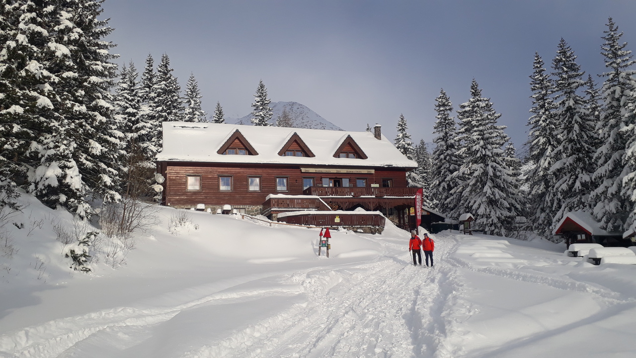
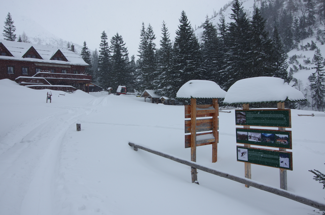
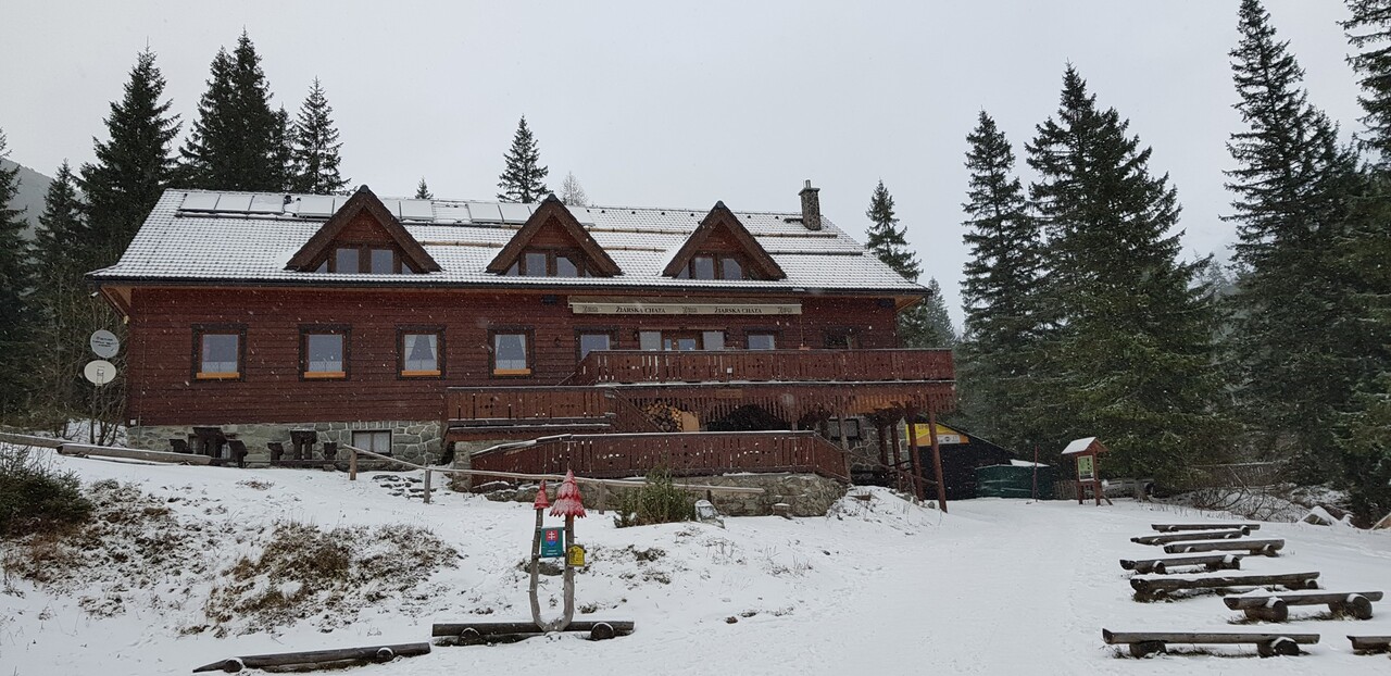
Žiarska chata (1 325 m n.m.) zo Žiarskej doliny
Route: Mouth of the Žiarska valley (900 masl) - Žiarska chata (1325 masl) (and back)
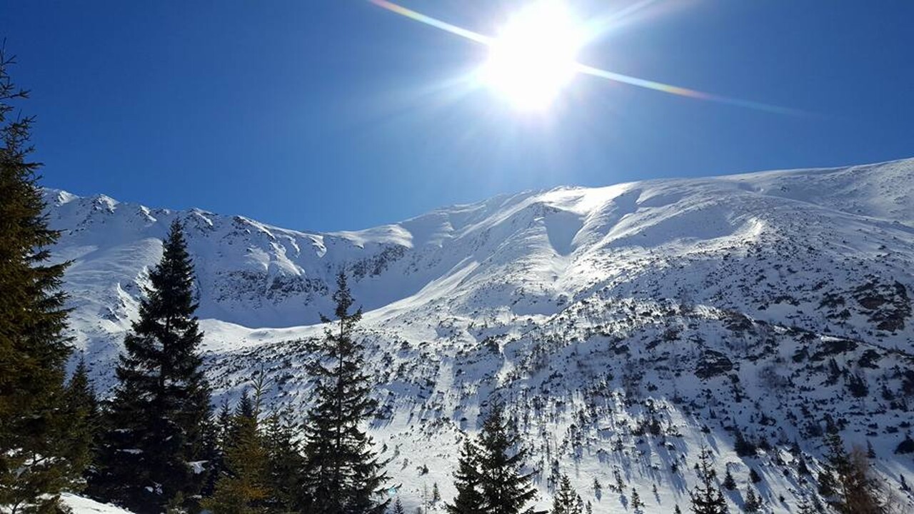
Area: Western Tatras
Elevation gain: 425 m
Winter closure for the Trail: open all year
Best time for the trip: all season with enough snow
Equipment needed: avalanche equipment
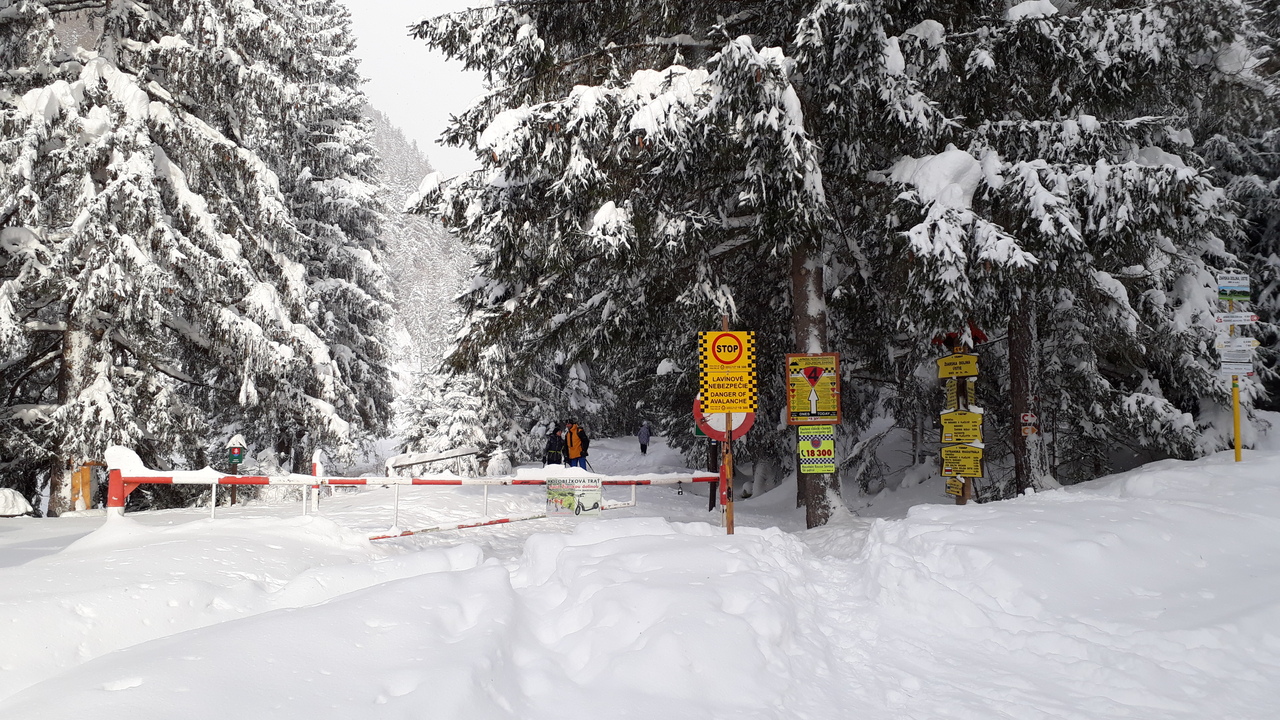
Route description:The goal is the only mountain hut on the southern side of the Western Tatras, which is open every day, all year round. This route is popularly used by the very beginners, not that experienced skiers, whole families, or as a short hike in the mountains. It can also be completed with children, or as the first trip for people who are new to ski touring/ski mountaineering. Recently, it has become widely popular to visit the hut in the evening/dark, in the light of the headlight only. In December and January, when the days are short, this offers an excellent opportunity to enjoy sports. The charm has an evening ascent, especially in clear weather or heavy snow. The hut is open until 10.00 pm. The advantage of its location is the fact that it is not exposed to avalanches like other routes. However, the avalanche situation should not be underestimated even here either. In case of great avalanche danger, both the valley and the hut are closed.
Way up:
The whole trip can be completed, for almost the entire season, on ski mountaneering skins, no other equipment is needed. The advantage of this trip is also the fact that it is not necessary to be in great shape or have great technical skills.
The trip starts at the mouth of Žiarska valley (Žiarská dolina), right at the parking lot. The whole route can be described as a slight climb. It is sometimes ridden by a snowmobile, or has a ski track already made by other ski tourers. The valley has an elevation of about 400 meters in 5 kilometres. Žiarska chata - a mountain hut is an ideal stop for refreshments. In case of nice weather in the spring, the terrace on the south side of the hut is a great place to relax, recharge your batteries and get that needed energy from the sun.
Way down:
From the hut back to the parking lot, it is a pleasant descent on what what normally, when there is no snow, functions as a road. If the snow is wet, it is necessary to use skating style while skiing.
Attractions on the route:
Symbolic cemetery for the victims of the Western Tatras - the cemetery was created by the Mountain Rescue in the Western Tatras to the growing number of victims of mountain accidents over the last two decades and taking into account the efforts of survivors and friends to place memorial symbols in places of accidents.
Medvedia štôlňa tunnel - is the longest tunnel in the Massif of the Western Tatras and at the same time the only accessible old mining spot in Liptov. The underground spaces reveal the secrets of mining work, the methods of transporting mining material and the obstacles that miners encountered while working.
Availability and parking options:
By bus: there is a stop in the valley, but the buses come only occasionally
By car: large-capacity, unguarded, paid parking lot with toilet, right at the beginning of the route
Refreshment options along the way:
Žiarska chata - there is a hut's kitchen and a cantine with a rich offer of drinks and meals. Please note that card payment is not possible.
Accommodation options along the way:
Žiarska chata - we recommend booking accommodation in advance due to the popularity and availability of the hut. Weekends are often booked months in advance.
In the vicinity of the parking lot there are several other facilities that also offer restaurant and accommodation services - Hotel Spojár, Salaš Žiar, hut Kožiar, hut Třinec.
Notes and tips:
It should be taken into account that especially on weekends, this place is a popular destination for local and foreign tourists, either as the end point of their walk or a place where they stop during a longer hike to the surrounding peaks.
+
maintained route (road)
views
infrastructure: parking, hut
good snow conditions for almost the whole season
-
poor bus connections
high traffic
dogs not allowed
1 h 30 m
Duration
11km
Length
ústie Žiarskej doliny
Starting point
Žiarska chata
End point
418m
Total ascent
418m
Total descent

