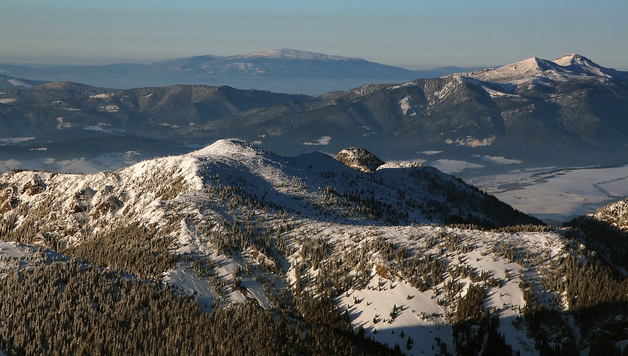
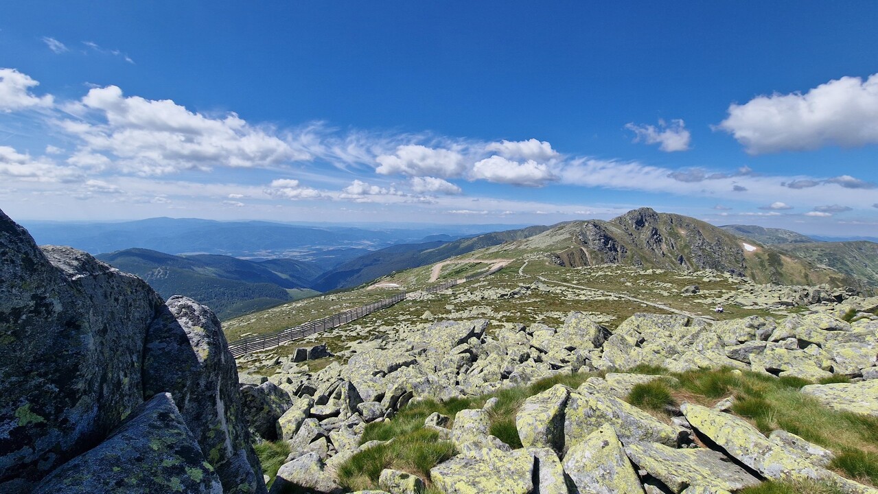
Krakova hoľa from Lúčky - Jasná
The route starts at the large car park for the Lúčky cable car. We follow the green hiking trail through the cottage area to the signpost, where we join the red trail. On the steep dirt road that also serves as a ski slope, a view opens of the Jasná ski resort and other peaks of the Low Tatras – Poľana, Bór(y) and Siná. Leave the dirt road and enter the forest, where you can catch your breath in a shelter and then continue over a wooden bridge along an ascending path following the creek to the Javorie sedlo. From the saddle you can follow the yellow trail in the direction of Ďumbier or the red trail towards Jánska dolina (Pred Bystrou). However, we will follow the yellow trail to the north – in the direction of Kosienky. After about 30 minutes, we will pass through Kosodrevina and arrive at the Kosienky crossroads, where we will turn north (to the left). We will arrive at the top of Krakova hoľa (1,752 m) within 30 minutes.
4 h 30 m
Duration
11km
Length
Lúčky
Starting point
Krakova hoľa
End point
817m
Total ascent
817m
Total descent


